Services
Professional drone operations delivering accurate data, reliable performance, and high-quality aerial visuals.
GET A 360°
Devil’s Slide, Pacifica (test)
As part of the Drone Mapping Club at the College of San Mateo, we created a 3D photogrammetric model of the Devil’s Slide in Pacifica, CA. This model was developed to better understand the geological structure of the Devil’s Slide area. It highlights the stratigraphic layers in the northern section and the contact with the […]

test
As an experienced drone pilot, I offer a professional 3D mapping service that allows for the creation of highly accurate three-dimensional models of objects, territories, and landscapes. Using modern drones equipped with high-resolution cameras and specialized software, I collect thousands of aerial photographs and data, which are then processed to form a detailed 3D map.
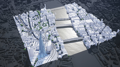
3D mapping (test)
Your Reliable Tool for Precise Space Modeling! As an experienced drone pilot, I offer a professional 3D mapping service that allows for the creation of highly accurate three-dimensional models of objects, territories, and landscapes. Using modern drones equipped with high-resolution cameras and specialized software, I collect thousands of aerial photographs and data, which are then […]


